Credit: truthseeker08
Named as ‘the roof of the world’, Tibetan plateau has been an attraction to countless expeditions, adventures of spiritual and scientific alike. Adding to its long list of marvels, researchers recently found that Tibetan Plateau is very much active geologically from underneath, in the first-ever study of its kind.
Tibet
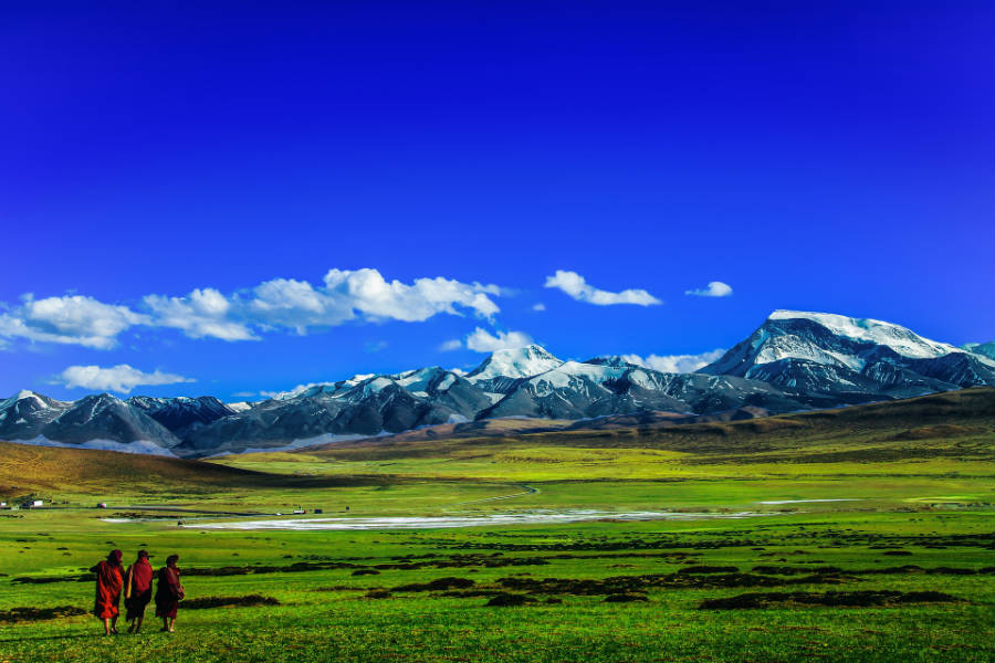
Situated adjacent to the Himalayan region, Tibet is one of the prime locations to study active geological processes. With an average lift of 5000 meters above sea level, the Tibetan plateau is surrounded by gigantic mountains. It is the world’s largest and highest plateau.
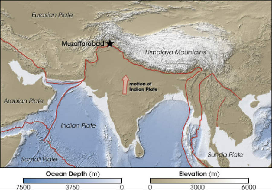
Also known as the third pole of the world, Tibet is spread across a vast area of more than 1.22 million square kilometres. It is believed that the area of Tibetan plateau was created as the result of the collision between Indian and Asian tectonic plates about 57 million years ago.
Beneath Tibet, continental plates are continuing to collide making it the only place on earth like that. This has also been the cause of many catastrophic disasters like earthquakes which have cost many lives. The massive Kashmir earthquake in 2005 killing nearly 75,000 people and the Gorkha earthquake in 2015 that cost 9000 lives are some of the deadliest catastrophes that happened in the area.
The study
The latest research is contributing to the ongoing debate about Tibet’s geological activeness. Researchers were able to study seismic data from the west to east view of its subsurface in Tibet’s Himalayan collision zone.
The study proves evidence of two major simultaneous geological processes happening beneath the surface. One is the movement of the two tectonic plates (i.e. Indian and the Asian tectonic plates) one over the other. The second is the thinning and collapsing of the crust. These observations were remarkably clear thanks to their never-seen-before ‘longitudinal’ variation images from the collision region.
According to Prof Simon Klemperer at Stanford University and an author of the study, “We’re seeing at a much finer scale what we never saw before. It took a heroic effort to install closely spaced seismometers across the mountains, instead of along the valleys, to collect data in the west-east direction and make this research possible.”
Are the new findings really bad?
Researchers say that the Indian tectonic crust has ‘significant tears’ along the Himalayan arc. According to the researchers, the main reason for this is the Indian plate moving from the south, colliding with the Asian plate, while its thicker area, ‘the mantle’, dips beneath the Tibetan plateau. This is not a good sign, as it makes the Indian plate to crumble underneath two of the surface rifts resulting in so-called, ‘tears’.

Credit: NASA
And tears like these are major telltale signs of how far a larger earthquake can spread. “These transitions, these jumps between the faults, are so important and they’re at a scale that we don’t normally notice until after an earthquake has happened,” explains Prof Klemperer.
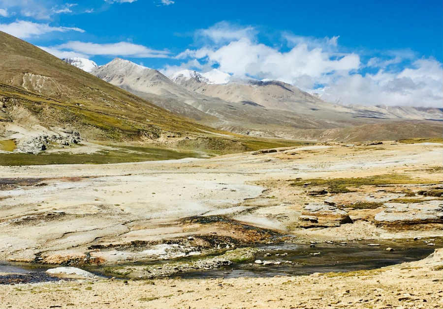
It was further observed that these tears are somehow involved in with an earthquake phenomenon happening in Tibetan plateau more than 40 miles deep.

Credit: Simon Klemperer
Why a major finding like this took this long to be revealed?
For the researchers, the Indian-Tibetan geological region is like a “natural laboratory” where they could examine continental collision in real-time. But it is easier said than done.
Explaining the limitations that researchers face, “The physical and political inaccessibility of Tibet has limited, scientific study, so most field experiments have either been too localized to understand the big picture or they’ve lacked sufficient resolution at depths to properly understand the processes.”
The research has been published in the journal, Proceedings of the National Academy of Sciences.

